
Preserved towers along the northern coast
Where surviving beacons still mark the shoreline
Use this coastal locator to trace preserved towers from western headlands to harbor approaches. Each stop pairs place-specific character with a short preservation context.
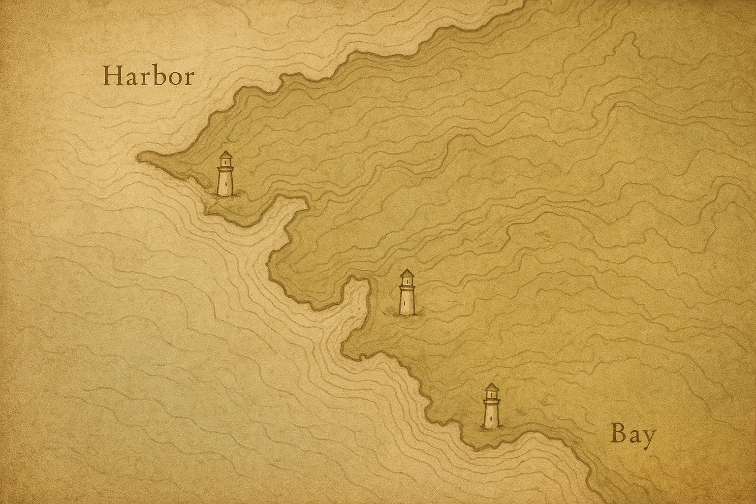
Visitor reference
Visit notes
Practical guidance for reading the map and approaching preserved lighthouse sites with care.
Can I enter every preserved lighthouse site?
Access varies by stewardship and safety status. Some towers allow scheduled entry, while others are view-only from designated public areas.
What should I expect when viewing preserved towers?
Conditions are often modest: uneven ground, limited facilities, and changing sightlines. Most locations emphasize preservation over visitor infrastructure.
How do seasonal coastal conditions affect visits?
Wind, fog, rain, and winter closures can alter access and visibility. Check local notices and allow extra time for weather-related changes.
Is photography allowed at preserved lighthouse locations?
Personal photography is usually welcome from public viewpoints. Follow posted restrictions, avoid entering protected zones, and do not disturb ongoing conservation work.
How is archive information interpreted on this map page?
Entries synthesize archival records, restoration notes, and field observations. Dates and terminology may differ across sources and are presented with context when needed.